

 Posts
Posts


 The
reason we picked this particular weekend for this trip is because it allowed us to attend this year's AWI reenactment at Fort Ticonderoga. The fort is a privately run site, funded by contributions, memberships and a modest park entrance fee for visitors. Although the French and Indian war and AWI fort would have been primarily earth works, the current depiction of the re-built fort represents a later time, possibly of partially questionable historical accuracy. Still the placement of all of the structures remains as it was in the AWI and the stone barracks at the time were stone and have been accurately restored. The fort's exhibits are extensive and include a climate controlled portion underground that allows for more delicate artifacts to be displayed.
The
reason we picked this particular weekend for this trip is because it allowed us to attend this year's AWI reenactment at Fort Ticonderoga. The fort is a privately run site, funded by contributions, memberships and a modest park entrance fee for visitors. Although the French and Indian war and AWI fort would have been primarily earth works, the current depiction of the re-built fort represents a later time, possibly of partially questionable historical accuracy. Still the placement of all of the structures remains as it was in the AWI and the stone barracks at the time were stone and have been accurately restored. The fort's exhibits are extensive and include a climate controlled portion underground that allows for more delicate artifacts to be displayed.
The mountain shown below is Mt. Defiance, which the British used to compromise the fort with artillery fire during the fort's capture.


Outside the fort the reenactors cook meals in an earthen multi-port field oven. Shown in modern clothing is Charlie, fellow conspirator and chef, discussing the oven with the period cooks.


Reviewing the troops inside the fort.


The diagram on the wall in the museum showing the number of cannons installed in the fort by year. Also photographs of fellow conspirators enjoying the museum's displays.


As the British reenactors described them using period French terms, Les Savage. The native American loyalist scouts. They're a terrifying sight in camp and particularly in the woods! Also with them some British rangers.


Two British 3 pounder light guns. Used in the reenactment even these 'small' guns projected a fearful report even without shot loaded in them.
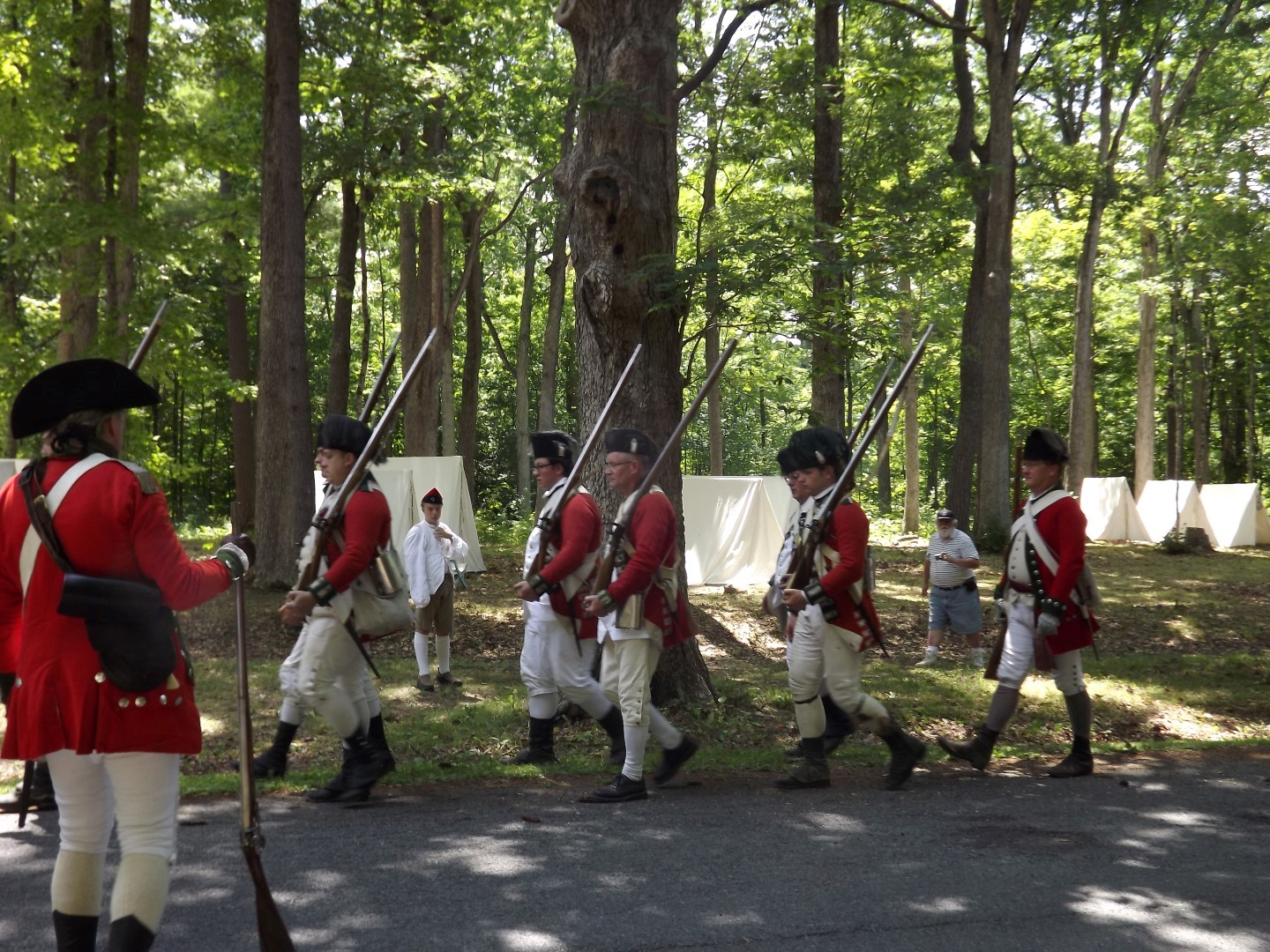
The British regulars line up in parade formations and prepare to march into the reenactment area in the woods.




The reenactment's first skirmish starts. Our vantage point started within the American lines, but as they were pressed, the British eventually passed by our location providing excellent views of both armies. In addition to these photographs, I've also uploaded six short videos of the action to my YouTube channel. I was using my still camera, so I apologize for the poor audio quality.


The regulars are coming!


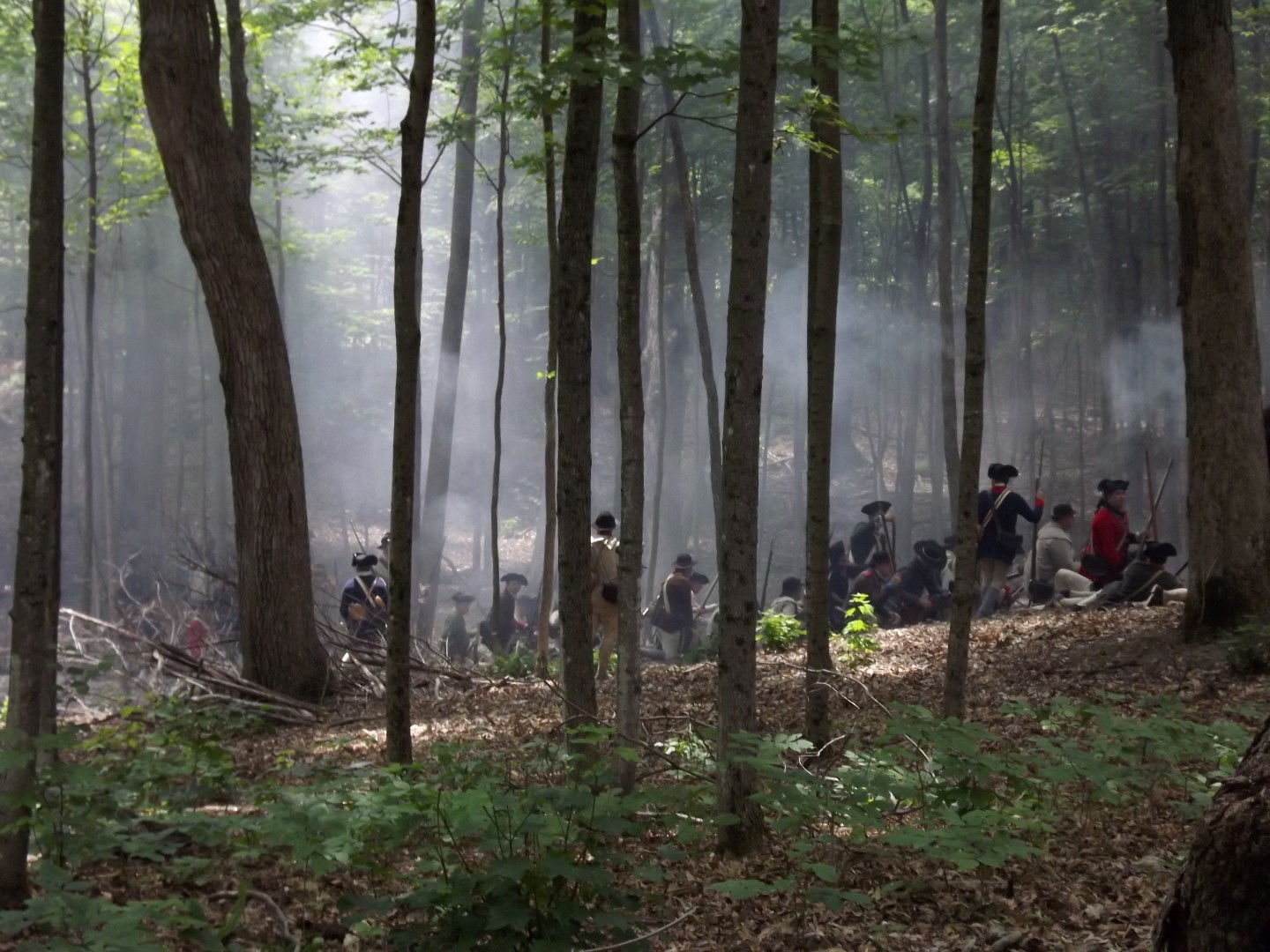
The second phase of the reenactment happens closer to the fort, near the Carrilon battlefield area. This was a much more heavily sloped area with poor sight lines for photography, although I did get a couple of nice shots of the American battle line, which was quite impressive considering the number of reenactors available. This was approximately 40 men. Imagine a battalion of 500! Note the smoke from just a couple of volleys from 40 muskets.